


If you missed Part 1, be sure to start there. Click here to go back to Part 1.
BALLOONS
To understand satellites, we must first learn more about balloons.
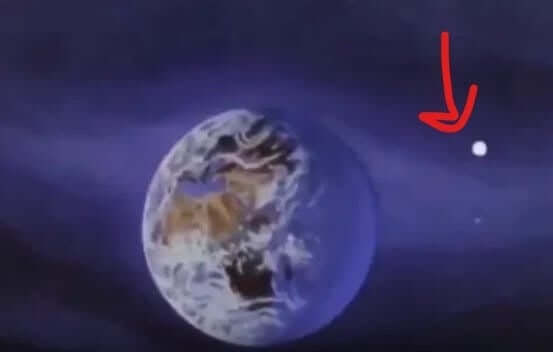
Look how far out in Space these balloons go! Amazing that it doesn’t just float away in that 0-gravity!
I did some digging into balloons and found some fascinating stuff that I never knew. Want to hear some crazy shit about balloons? (Though to self: I can’t believe I just asked a group of fellow adults if they want to hear crazy shit about BALLOONS. WTF time are we living in that balloons are crazy?! I feel like crazy shit should be followed by, “I saw an alligator do a backflip,” or, “My spouse bought a teapot from Salvation Army and found a piece of King Tut's cloak in it.” Shouldn’t crazy shit be reserved for literally any topic other than BALLOONS? …yet here we are, in the mid-2020s getting mind-raped by BALLOONS because they lied about those too…)
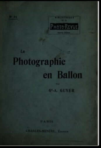
Crazy shit about balloons: High altitude balloon photography goes back so much further than the 1940s. Here’s a book published in 1911!
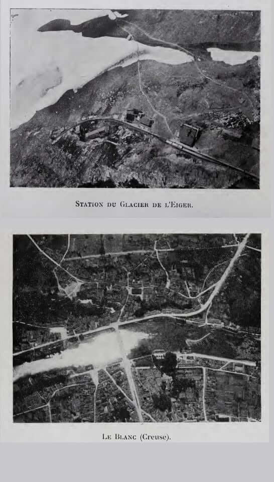
Check out the photographs from the book that look exactly like what we are told is taken by outer space satellites! FROM 1911!
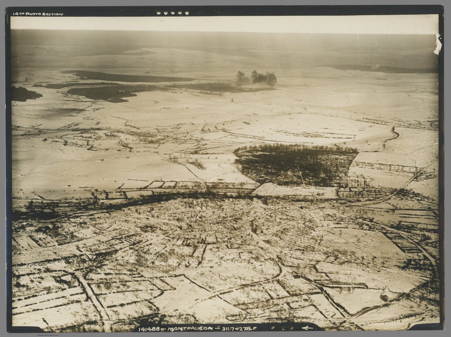
In 1918, the Army was taking photos from balloons (not satellites):



Then there’s this little rabbit hole: I found this 1971 NASA publication called Earth Photography from High-Altitude Balloons, and it is one of the most interesting documents out of all of them, in my opinion. Let me show you exactly why. But first, remember, at this point in time, 1969-1971, NASA claimed to have satellites zipping around space that were taking photos and videos and transmitting them to earth, so using high altitude balloons to take photos seems rather ridiculous, doesn’t it? Like, it’s currently 2024, and if I wanted to take photos of my cousin's wedding, I wouldn’t bring my old Blackberry cell phone, I would use current technology, right?
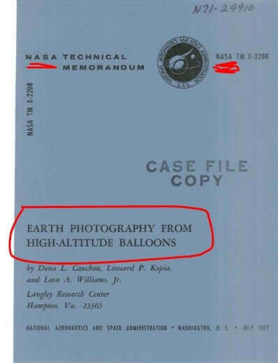
What we find in this publication is fascinating. First, we get to see just how high these balloons go, and it’s wild! Look at this!:
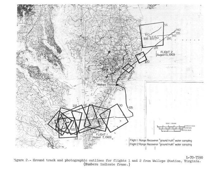

One thing I noticed, in the image above, is this (zoomed in):
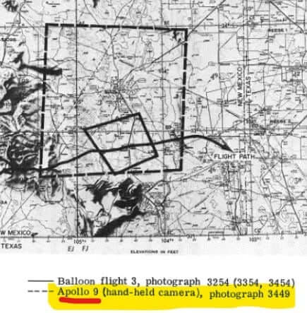
In that photo they are comparing the balloon photo versus the “Apollo 9 (hand-held camera) photo”.
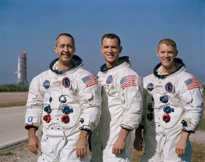
You can’t make this shit up: They claim, (try not to laugh), they were taking photos… … … with a handheld camera… … … … in space… … …
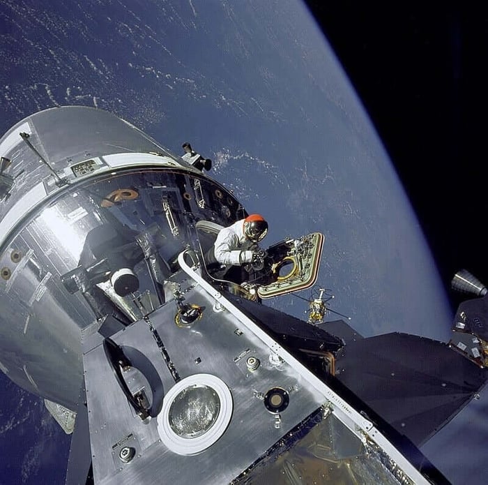
You show me someone who thinks this is real and I’ll show you a liar…
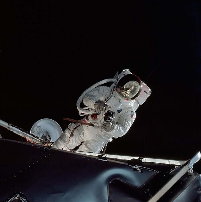
One must ask, “Why is it that Apollo 9, which they show us is super far out in space…
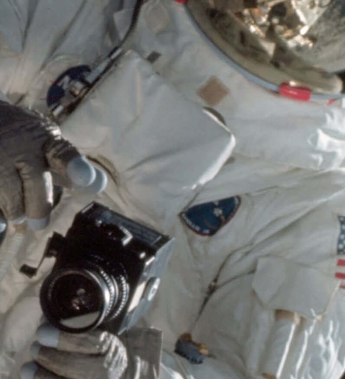
…taking the exact same scale of photographs as the balloon?”…
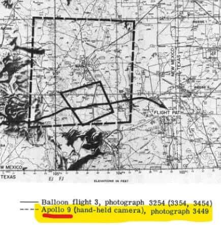
They claim the only difference between the balloon photo and the Apollo 9 handheld camera photo is the size of the area. They say this is the area the balloon can photograph:

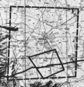
And this is the size of the area that a dude, hanging out of a spaceship, can photograph with an old, clunky, 1970s handheld camera:
Do you know what they didn’t mention in this document? The U-2 and A-12 Ultra-High Altitude planes. Why didn’t they compare the scale of photos those can take? Is it because the Apollo photos are actually taken from the plane? Most likely.
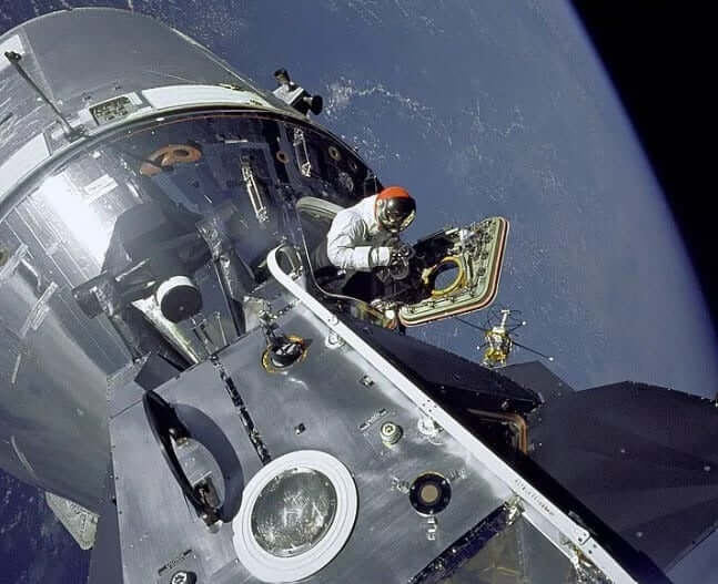
Random thought: Who do you suppose is taking the photo of the dude taking a photo?
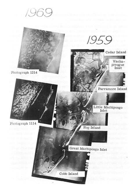
In the same document we also see more photos, taken from balloons, which again shows the height these things can get to:
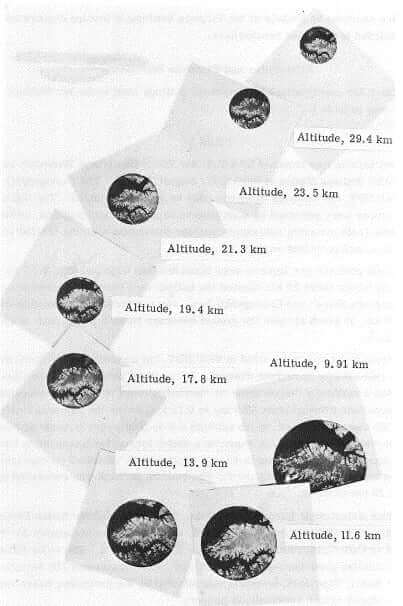
Then there’s this, where they show the exact scale of photographs, based on altitude. Note that the really-satellite-looking-scale-photo was taken at an altitude of only 18 miles high! (29.4km):
Then there’s this little tiny phrase that speaks volumes: On page 14 of the document, they talk about how the balloon photography is “earth-looking”:
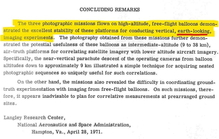
“EARTH-LOOKING"! NASA was taking photos of the ground from only 18 miles high, and calling them “EARTH-LOOKING”… in 1971! That’s not even that long ago! This is YEARS after the moon landing! DECADES after they told us satellites were in space!
So, just to recap before we move on, there are no real photos of a satellite in space; they are all artist renderings (CGI, cartoons, illustrations, etc.), which is weird because they have been putting these things up in space for our entire lifetimes… and Santa said so.
What we do have real photographs and videos of are balloons and planes, which just so happen to provide identical photographs as the satellites in space. We know this because their document shows so. We also know that all of the video evidence of that time, related to satellites, was created by Universal Studios.
The next question is, “IF there are not actually satellite machines in outer space, then what about internet? What about phone calls? Satellite TV!? The Cloud!? These all require space satellites to work!”. I am in my 40s and, until recently, I believed the same, but let’s see if there is an alternate way these services can be provided that doesn’t require expensive, tax-funded machines (that we can never see) floating in orbit.
SUBMARINE CABLES
In the above video, made by Vox, we learn that “The Cloud” and the internet are actually in the ocean, ran through submarine cables. Below is a video that explains submarine cables in more detail.
In that video we learned that the first submarine cable was laid in the 1800s! Then, in 1958, they started putting in lots of them. So, we can conclusively say, “Space satellite machines are not required for internet”. But what about phone calls? Surely those require outer space satellites, right?
Someone in the back of the room screams, “But what about the actual bills from Congress?! What about The Communication Satellite Act of the 1960s?! You’re telling me the ENTIRE government was in on a ploy?! That sounds like a conspiracy theory!” … I agree! It does indeed! Let’s take a peek:

Yeah bro, it’s a ploy, and they knew it was a ploy, and the bill still passed.
“But what about the weather forecasts?!” (super important 3 minute video)
One thing that video did not mention is that all USA weather is ran through Raytheon. The super computers are Raytheon's. The weather simulation software is all Raytheon’s. Wrap your mind around the fact that our weather broadcast is provided by one of the largest aerospace manufacturers in the world. Raytheon’s weather program is “Raytheon Technical Services” per this contract from 2005 for $300 Million in tax dollars:
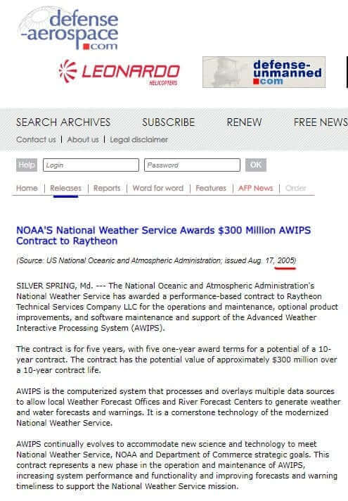
Would you be surprised to learn that they have attempted to scrub all information related to Raytheon and the weather, including the article shown above? I plan to write a post just on this soon. (Btw, did you read my post about Mitt Romney owning the weather?)
“But what about all the pictures of the earth?! THE BLUE MARBLE! What about that?!?”. This dude found the computer code for it: (4 minute video showing how the sausage is earth photos are made)
“But what about Google Earth?! All of those images are from space satellites, right?!” Nope…
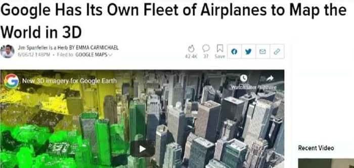
And here’s how the curve works with that:
THIS STORY ISN'T OVER! NEXT READ: The Satellite Hoax (PART 5)




![The Satellite Hoax: The First Photo of Earth From Space, Propaganda & Johns Hopkins [Part 1]](https://dropinblog.net/cdn-cgi/image/fit=scale-down,format=auto,width=700/34264201/files/featured/satellite-part-1-1.jpg)





.jpg)