


If you missed Part 1, be sure to start there because it would be hard to open a book at the last chapter and start reading there. Click here to go back to Part 1 and you will end up right back here in a little while.
IMAGES vs PHOTOGRAPHS
You can learn a lot more about this topic in The NASA PSYOP, Part 2: Just Show us 1 REAL Photograph, but I want to quickly review it, because it’s super important for people to understand. NASA shows us images:
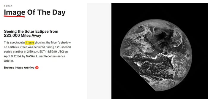
I repeat, IMAGES are NOT photographs:
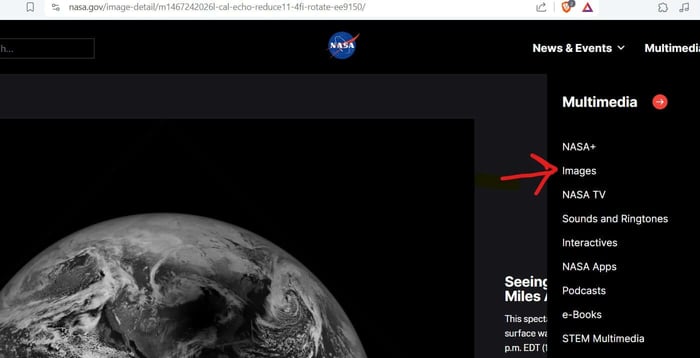
A photograph is always only taken with a camera. An image is art, graphic design, a digital image, anything can be an image. While a photo can be called an image, an image cannot be called a photo unless it was taken with a camera. WHY DO THEY CALL THESE IMAGES INSTEAD OF PHOTOGRAPHS?! (You already know the answer)
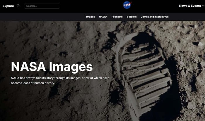
Look, here is their page for videos, images and audio files for the media (and public) to use, for free (to spread the propaganda):
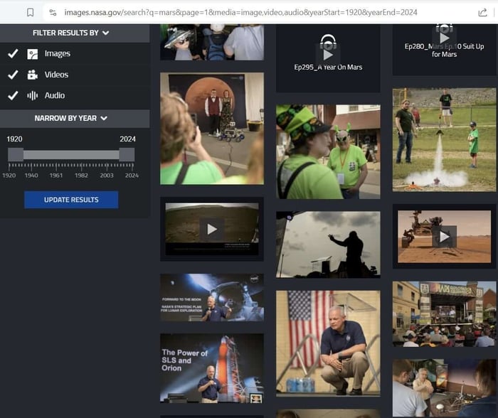
This is a Mars ANIMATION for the media:
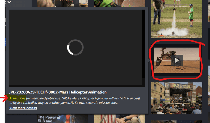
I downloaded it, here it is. While you watch this, ask yourself WHY we are provided animations instead of real footage?: (3 minute video)
Here is a photograph, which NASA labels a photograph, because it is one:
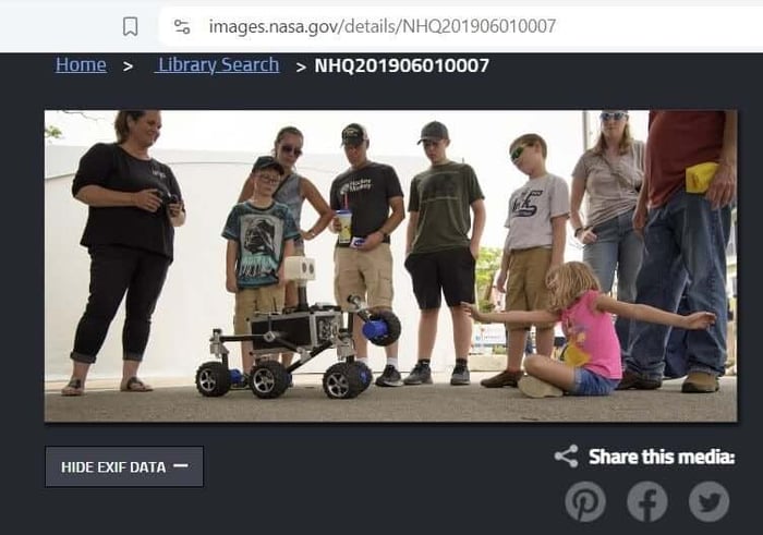
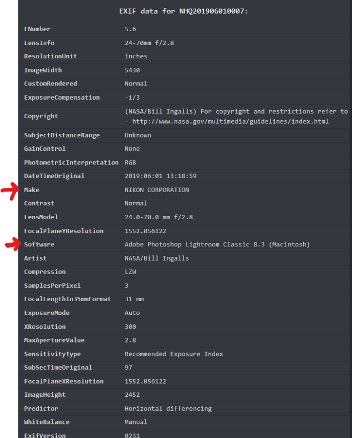
You can see all the details of this photograph, including that it was taken with a Nikon Camera without flash and edited in Photoshop:

But here’s a different one, called Turning on Mars, which leads you to believe it’s a photograph, right?
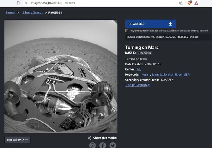
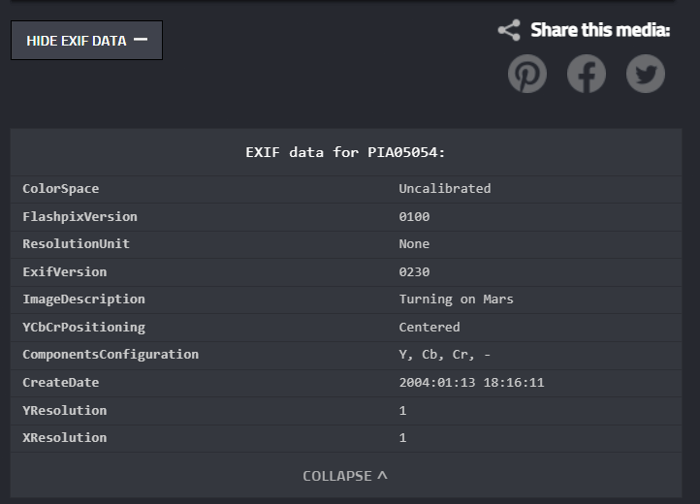
But if we look at the details of this photograph, we discover it is actually an image. There is no camera information listed. In fact, there’s no information listed other than “Creation Date: January 13th, 2004”… because someone CREATED this image:
In closing, I dedicate this article to Conspiracy Rob, who was right all along. And I am determined to figure out what is going on with those satellite airport photos. Are they all AI? Is it all a CIA illusion? Where are the planes?
THE FINE PRINT
If you read the fine print on any satellite provider website, you will discover they are ground-based units, planes or balloons. Being “in orbit” simply means flying around the sky, just like the Skynet satellite does. It does not mean deep in outer space. This is why NASA themselves will tell you we can’t get past “low earth orbit” (flying around the sky)
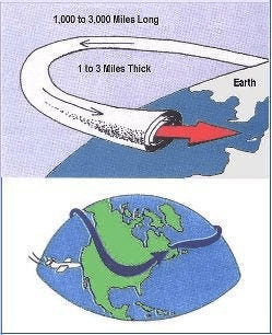
They can utilize the jet stream to make their balloons “orbit”.
Because satellites in outer space do not exist, these “satellite images” are computer generated, created through lidar pulsing from ground based units. This is an image, it is not a photograph:
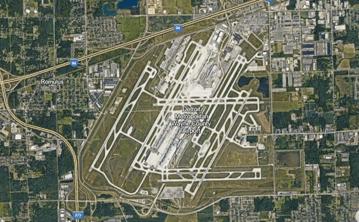
Lidar has to pulse over and over to capture distances between objects to create shapes. It can only capture objects that do not move.
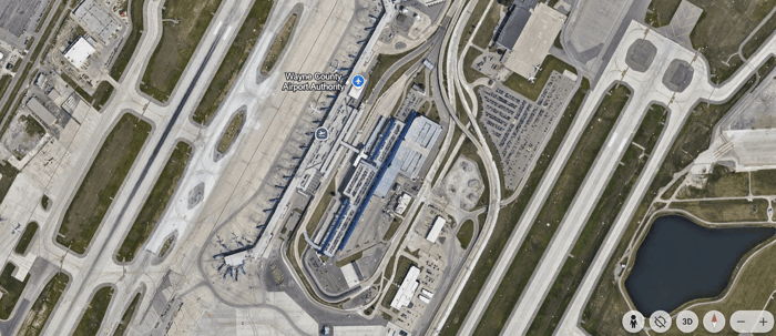
With enough pulsing, a 3D map is created. Because the object must be stagnant to be captured, these “satellite image” maps never show a plane on the run way, a plane in flight, a plane in the sky, yet if a plane is parked for extended time, the lidar pulses will capture it. Here is a parked plane. You can tell this is not a photo by simply looking at it:
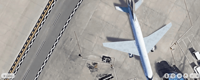
But when you switch over to Google Street View of the exact same area, you now get actual photography:
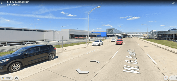
See the difference? Street View photography is not taken by “satellites”, it is taken by cars affixed with cameras.
Other “satellite images” are taken by planes below cloud level. This is called aerial photography and it is the reason why there are never clouds in the “satellite” images of cities…
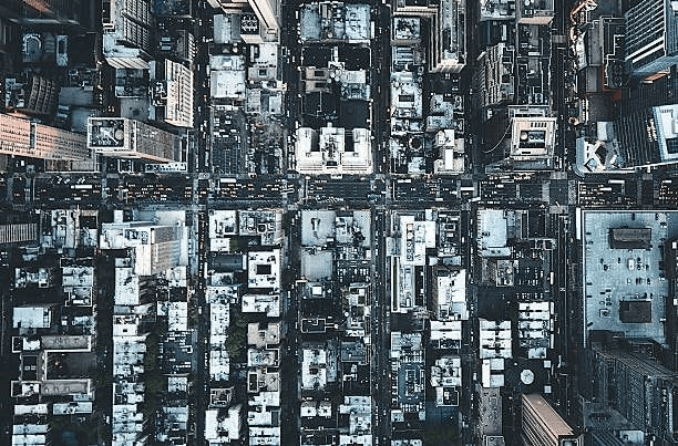
If you compare the above satellite photo to a photo taken by an airplane passenger, you will see they are visually at approximately the same height.
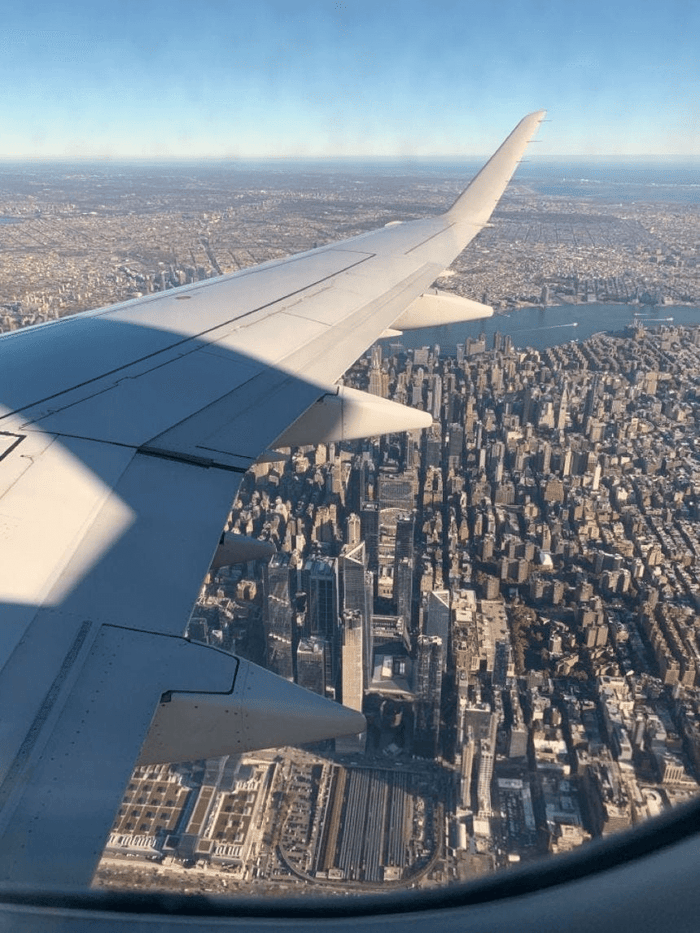
If this was in space, taking photos of cities and running surveillance on citizens…
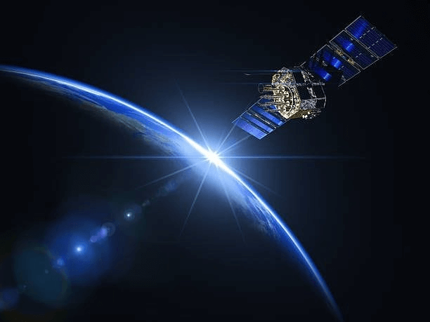
… it would be much higher up than this view from a plane window:
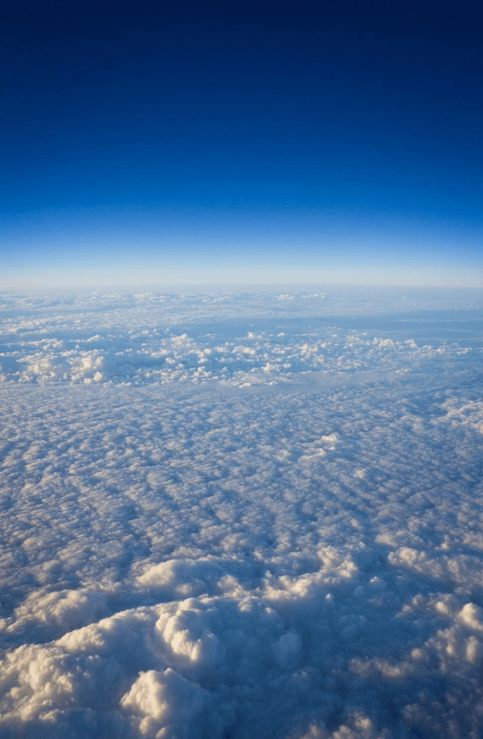
It would not be able to provide these photos on a cloudy day, let alone spy.
Keep Me Writing! Buy Me a Coffee
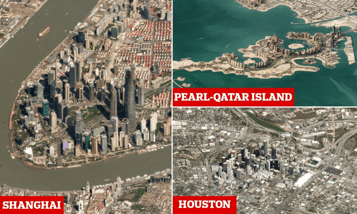
That means, all of this “satellite imagery”, like what is provided to us by NASA and EOS…
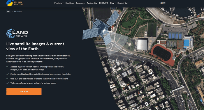
Is all just CGI…
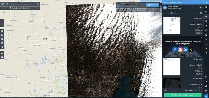
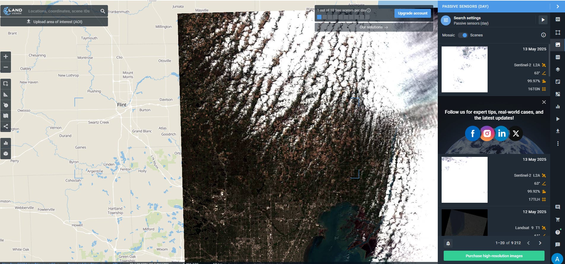
…and aerial photography…
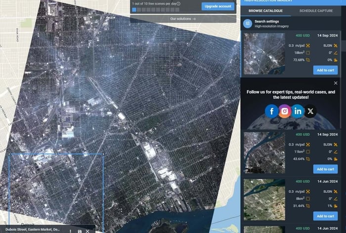
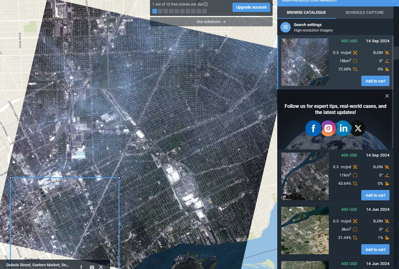
That is because this “satellite”…
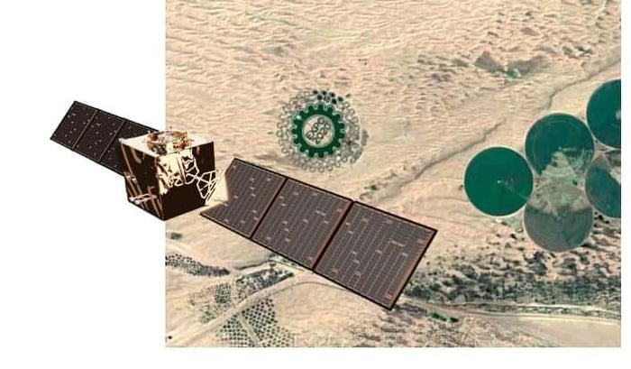
…and this “satellite”…
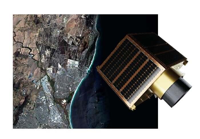
…and this one too…
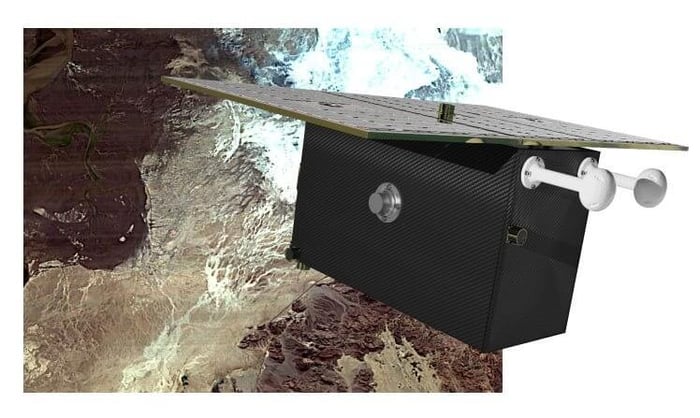
Are real, but they are actually this:
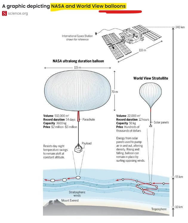
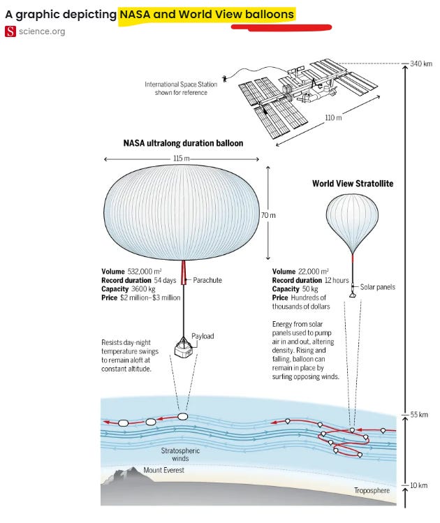
They are “satellites” attached to balloons:
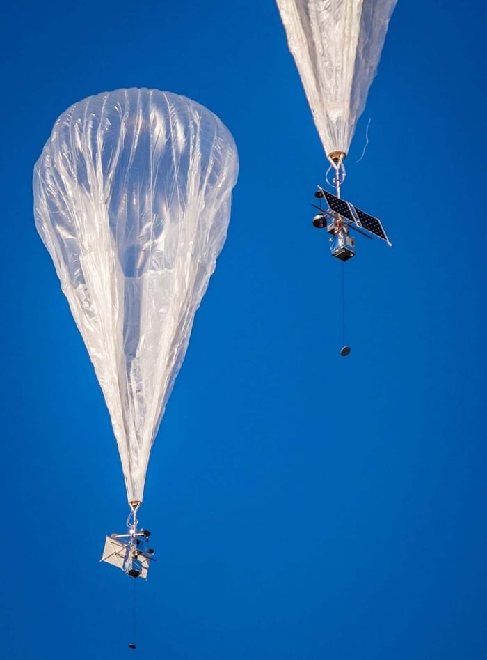
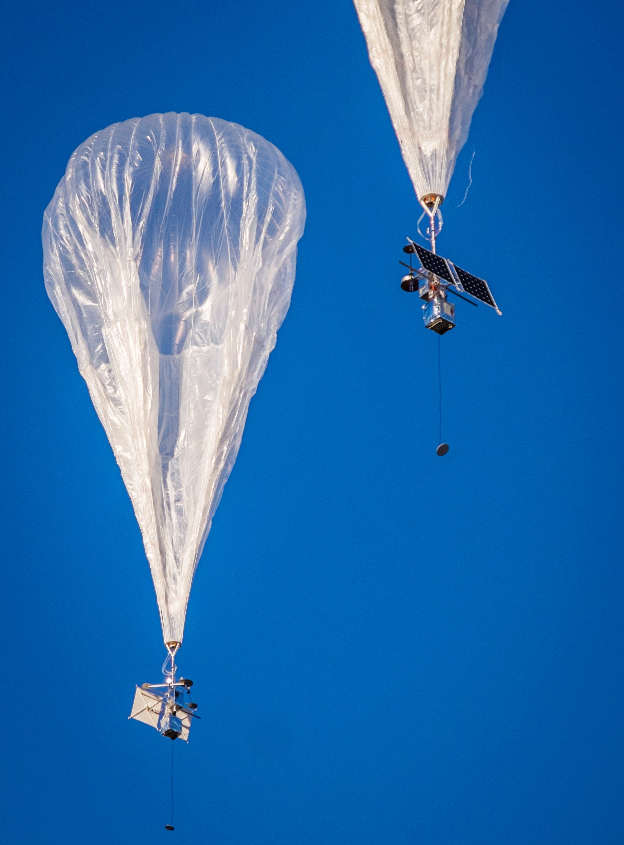
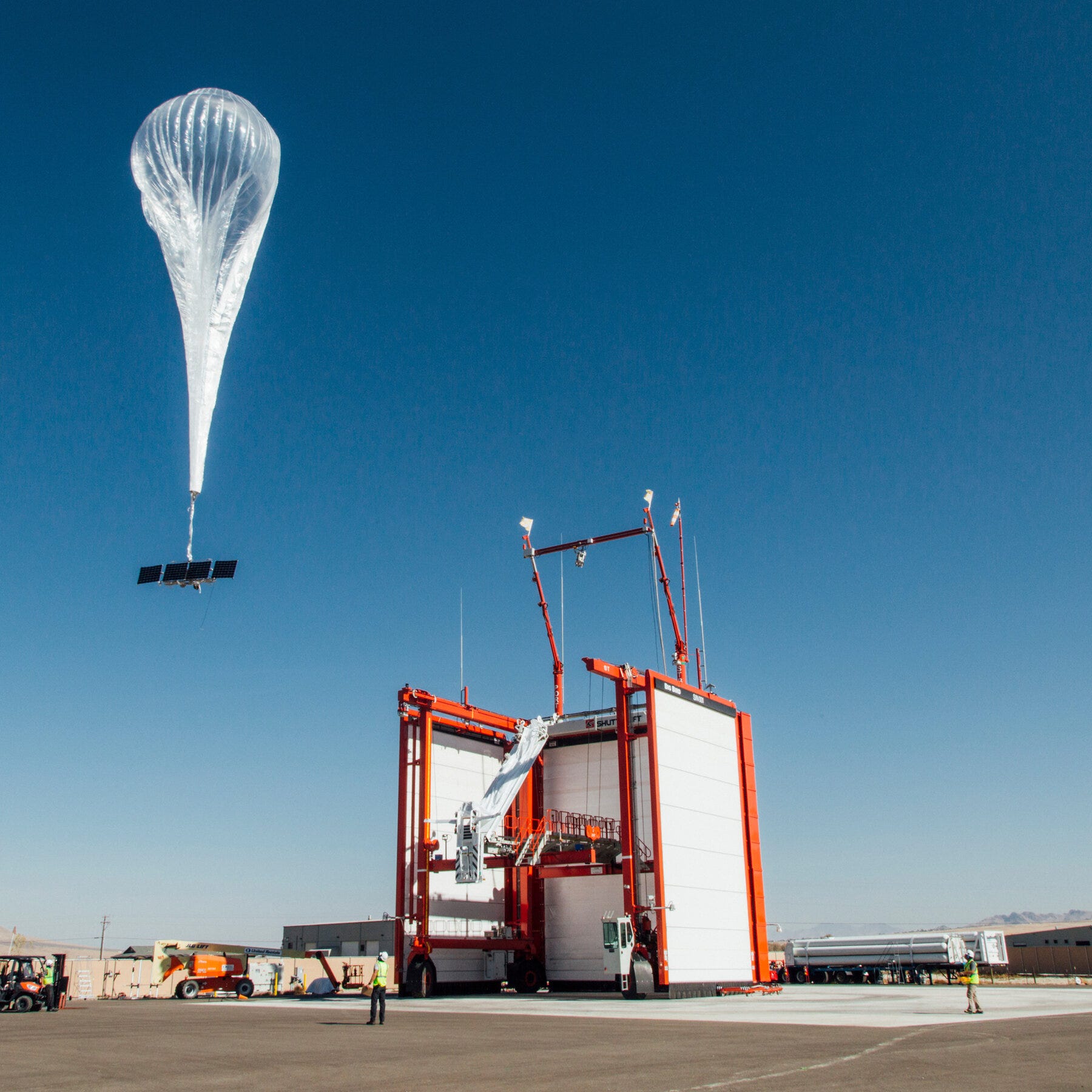
They are “Low-Earth Orbit” Balloons…
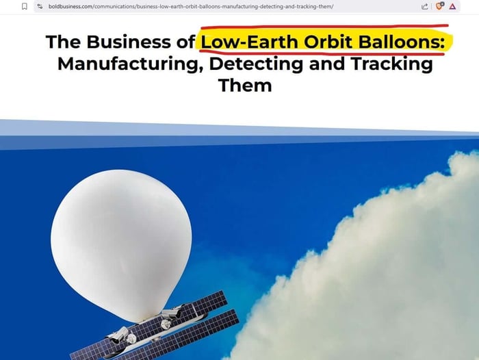
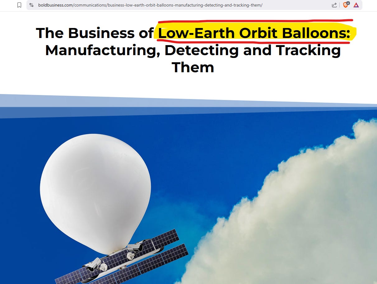
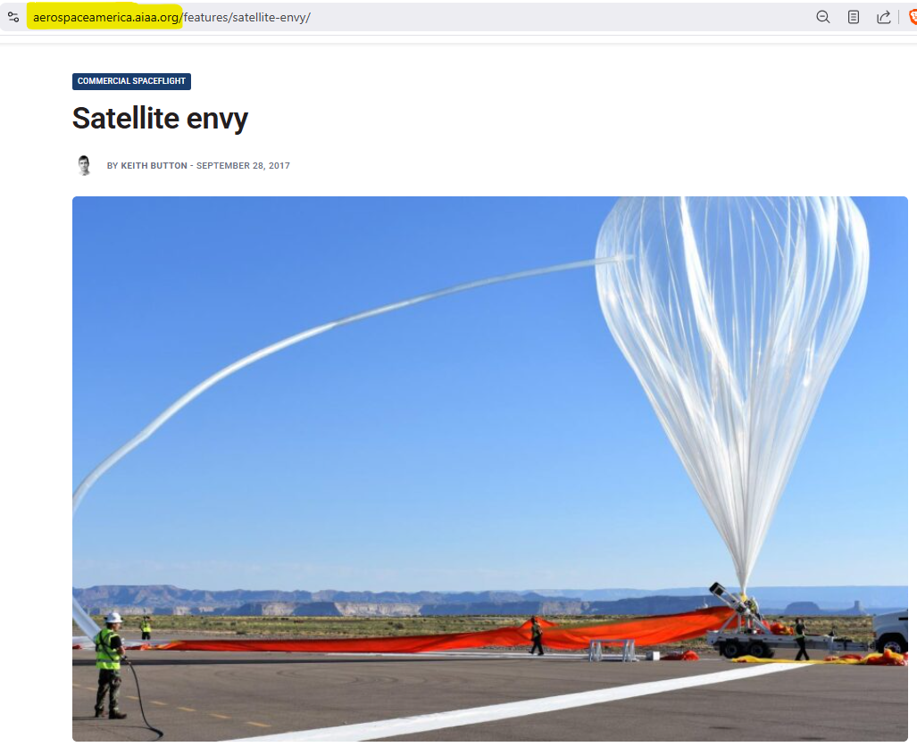
You can verify this on the “satellite” providers spec sheets and in their informational brochures. For example, here is EOS’s art showing their EOS SAT-1:
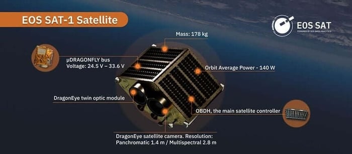
But when you pull up their specs data, you see it is in “low earth orbit”, not in outer space because it hangs from a balloon.
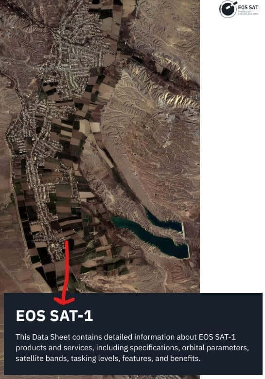
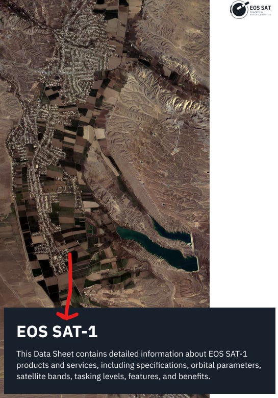 Yes, the specs sheet itself tells you these machines are not in space. This why why we can only see CGI art of these machines in space.
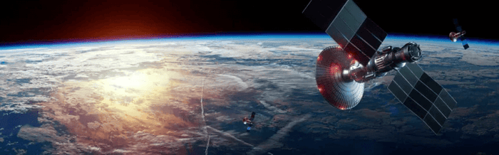
And that, my friends, is the untold truth about satellites. If you enjoyed this series, please consider hooking me up with a coffee or making a Ko-Fi donation. These articles take a lot of time, and I do it for free because I love raising awareness, but the articles aren't actually free to write. There are surprisingly a lot of costs that go into being a journalist and contributions REALLY help!



![The Satellite Hoax: The First Photo of Earth From Space, Propaganda & Johns Hopkins [Part 1]](https://dropinblog.net/cdn-cgi/image/fit=scale-down,format=auto,width=700/34264201/files/featured/satellite-part-1-1.jpg)



![GMO Food? Lab Made Food? Or Outright FAKE FOOD? (Agent131711) [Part 1]](https://dropinblog.net/cdn-cgi/image/fit=scale-down,format=auto,width=700/34264201/files/featured/gmo-1400x788.png)

